| Start | (-34.2107139,151.0054735) |
| Mode | Car (There is free parking available.) Train |
| Directions | From
|
| Turn map | Directions & comments |
|---|---|
 |
|
 |
|
 |
|
 |
|
 |
|
 |
After another 80 m (at the intersection of Lady Wakehurst Drive & Fanshawe Road) turn left, to head along Lady Wakehurst Drive (a road).
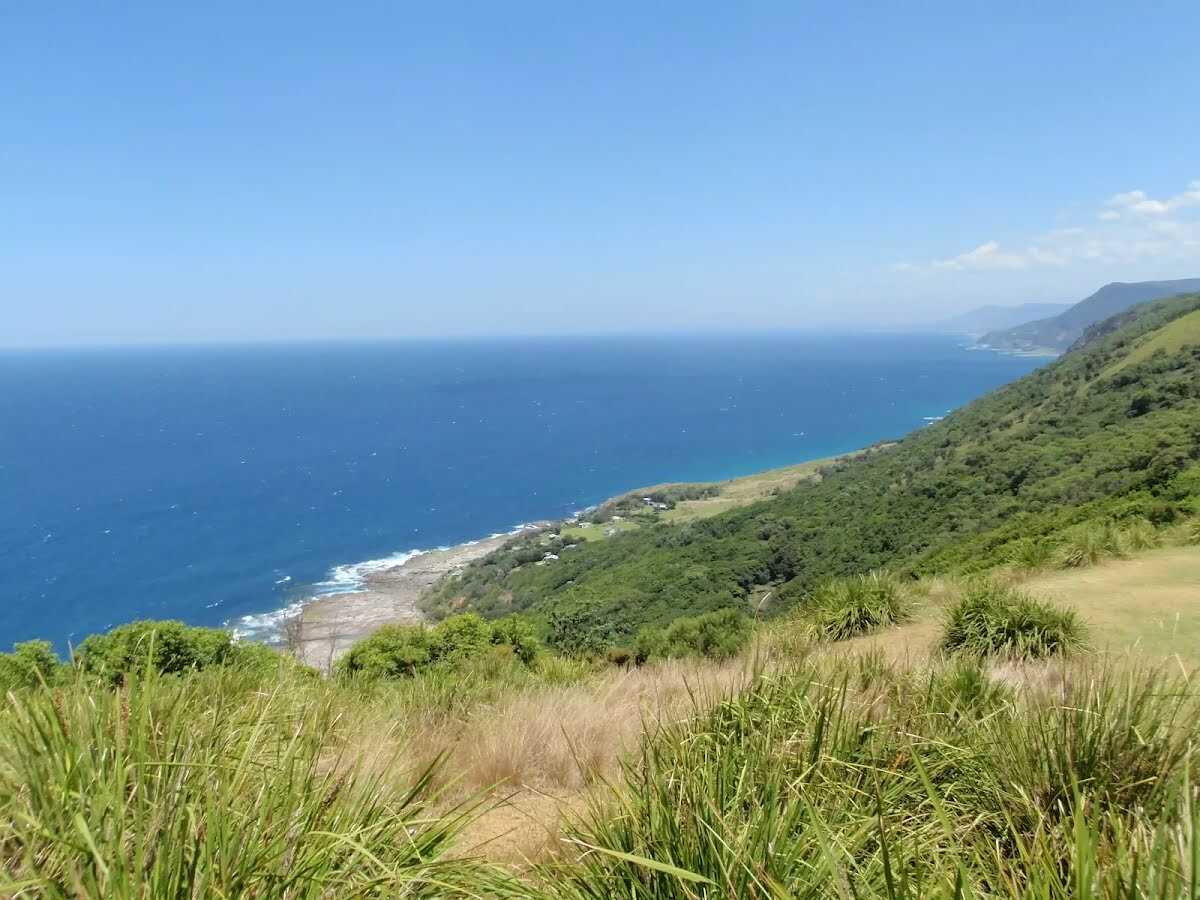 Otford Lookout is on the Lady Wakehurst Dr, Otford. The lookout is in the Southern Tip of Royal National Park. The Lookout is on the side of the road with some parking. There are no facilities, but there is a great view out to see and down south down the coast to Wollongong. There is a small grass clearing on the ocean side of the road.
|
 |
|
 |
|
 |
|
 |
|
 |
|
 |
|
 |
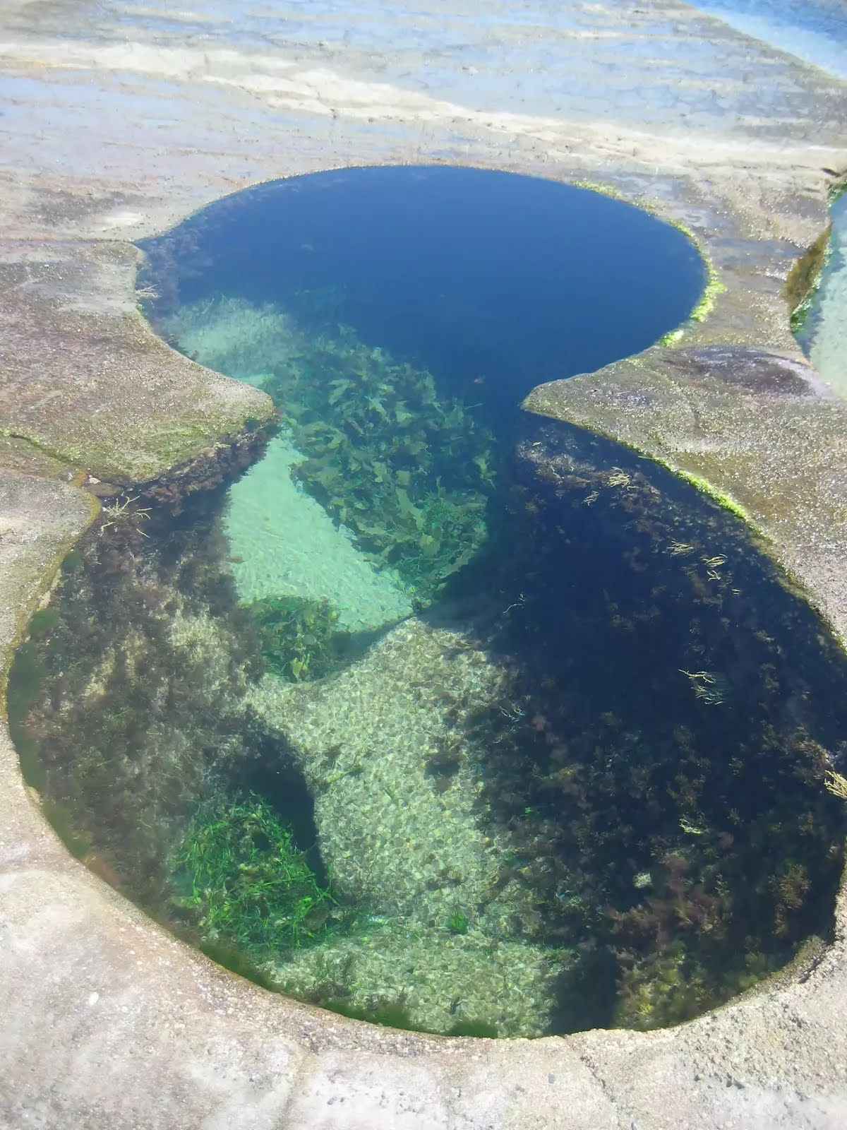
The starting point of an optional sidetrip. An optional side trip to Figure 8 Pools. To start this optional side trip continue straight here. On returning from this side trip turn right when you get back to this intersection. Details below.
|
 |
|
 |
|
 |
|
 |
|
 |
|
 |
|
 |
|
 |
|
 |
|
 |
|
 |
|
 |
|
 |
|
 |
|
 |
|
 |
|
 |

|
|
Class 4/6 Hard track |
|---|---|
| Length | 13.7 km |
| Time | 5 h 15 min to 6 h |
| Quality of track | Formed track, with some branches and other obstacles (3/6) |
| Gradient | Very steep (4/6) |
| Signage | Directional signs along the way (3/6) |
| Infrastructure | Limited facilities, not all cliffs are fenced (3/6) |
| Experience Required | Some bushwalking experience recommended (3/6) |
| Weather | Weather generally has little impact on safety (1/6) |